CITY 03DOLNOŚLĄSKIE51.1079° N 17.0385° E
WROCŁAW
ISLANDS, BRIDGES, BOUNDARIES.
WROCŁAW IS PLANNED.
Wrocław sits on water, and so do many of its best properties: river frontage, bridges and towpaths make long open boundaries. BEAM and SENTRY were designed for exactly that kind of line. Surveys and system design are open across Lower Silesia now; the response tier is planned around a Wrocław depot.
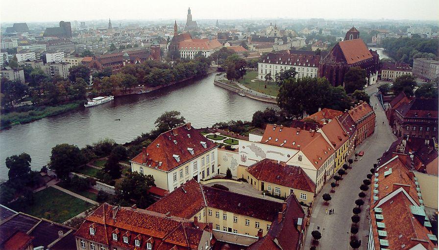
PHOTO: Andrzej Barabasz (Chepry) · CC BY-SA 2.0 · CROPPED AND TONED

PLANNED COVERAGE
RESPONSE TIER · PLANNED- KRZYKI
- BISKUPIN
- SĘPOLNO
- KARŁOWICE
- OŁTASZYN
- PARTYNICE
- LEŚNICA
- ŚRÓDMIEŚCIE
- KIEŁCZÓW
- SIECHNICE
- KOBIERZYCE
Areas we plan to serve with the response tier once the Wrocław depot opens. Hardware and on-site intelligence need no depot and are available all around them.
HOW A SURVEY WORKS
- 01
YOU WRITE
Where the property is and what worries you about it. Plans and photos help but are not needed.
- 02
WE REPLY
From a person, by email, with questions about the site and a proposed date.
- 03
SURVEY ON SITE
Every wall, sightline and approach measured. The site model is built from it.
- 04
PROPOSAL
A system designed on the model, with every unit placed and priced, before anything is mounted.
A SURVEY IN WROCŁAW STARTS WITH ONE EMAIL.
SURVEYS · OPEN NOWRESPONSE TIER · PLANNEDREPLY FROM · CONTACT@TORVEIL.COM